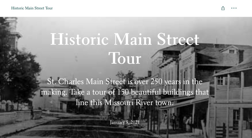
What’s in a name? As Shakespeare says, a rose by any other name would still smell as sweet. After all, thousands of cities across the country have a Main Street. But Main Street in St. Charles is really special, and will always be special for many reasons!
In 1804, we were part of land purchased by the United States. Purchased from France, we had also been owned by the Spanish. In those days, though, a land purchase didn’t come with a county assessor’s digital database of who owned what. But before much thought could be put to that, and even though we had been “incorporated” as a town in 1809, surveys had to be done. Before you knew it, a little affair called the War of 1812 happened, though. We just called it the Indian War here, because it started here before the U.S. decided to go to war. Govenor Benjamin Howard mustered up the men who were led by two of Daniel Boone’s sons, Daniel Morgan and Nathan. After the war, Nathan was hired to survey the town and identify who owned what in 1817. He had already been hired to do a survey on the Boone’s Lick Road in 1816. The U.S had hired surveyors to mark the 5th Prime Meridian and U.S. Land Offices would open and start selling land in 1818.
People had been living here as early as 1769, when Blanchette had established himself on the north side of the Missouri River among Les Petite Cotes, or the Little Hills, which were Indian Mounds. But it wasn’t really until 1804, that things started happening. That’s when Captains Meriwether Lewis and William Clark decided to shove off on the great expedition in search of the connection to the western sea, the Pacific. That is also when James Morrison, co-owner with the Boone sons, purchased a lot where Berthold Park was and established a trading post that was the beginning of the Boone’s Lick Road. He outfitted Zebulon Pike and his expedition in 1806. In 1818, Missouri petitioned to become a state, and while Congress debated if we should be a slave state, we debated where the State Capitol should be. That was St. Charles Main Street too, from July 1821 to November 1826.
Famous people would live along Main Street too! Like St. Rose Philipine Duchesene, DuSable, and William Eckert. Never hear of Eckert? Well there’s an ap for that, and it doesn’t use AI. A few years ago, I wrote up the history of the 150 buildings, from James Mackay’s place to the later American Car Foundry. I really enjoyed putting it all together, and as always, you learn more even after its published! Here is the link: https://storymaps.arcgis.com/stories/ef8dfd89425c46349ead22cd80213320
Using today’s technology – you can pull up the link on your phone – and find more stories about the buildings, and the people, that line St. Charles Main Street today by touching the dots on the maps. Or if its raining outside, you can open the link and click on the dots right on your computer in the comfort of your home and learn the history! Have fun!
P.S. Thinking about one of the Boone’s Lick Road next. Or maybe African American sites in the County? Or Civil War sites and events?

