There is no entry by Campbell on August 30th
The confluence of the Kanawha and Elk Rivers made Charleston a great location to stop and rest. Apparently William Campbell had ridden way ahead in his buggy. Campbell had left Lexington on the 20th of the August and traveled approximately 210 miles. Campbell had also made this journey before, and most probably Robert Cummins, had as well, as he had invested in property in Missouri before statehood. Cummings was most likely staying with the slower wagons. Twenty-four year old Campbell, who had studied law at Washington and Lee University makes friends easily.
The confluence of the rivers would allow them to ship their furniture, and household goods on ahead, thereby allowing them to travel easier and faster. The boat, called a keelboat, is essentially a large flat bottom boat used for these purposes. Not designed for passengers, it was more like a barge. Perhaps Cummings was then assigned the task of staying with the goods, that were being shipped on ahead. This was a common practice, whether coming from the north down the Ohio River from ports like Baltimore, or from the southern regions. This would allow for much easier travel. Sunday was a day of rest, and most likely the Alexanders, McClures and Icenhower would have visited the Presbyterian church in the city.
Written in 1829, this is the journal of William M. Campbell. This is also the story of Archer Alexander, an enslaved man born in Lexington, Virginia, who was taken to Missouri in 1829. There are 38 entries in Campbell’s journal, which begins on August 20, 1829 that you can read and follow the story of Archer Alexander. Campbell’s journal is located in the Archives at Washington and Lee University in Lexington, Virginia and is being shared here so that we may hear all the voices, including those whose voices were not shared originally. The photos were taken by me when visiting Virginia for research and then following the pathway that Campbell shares in his journal. Please keep in mind the context of the time in which this journal was written. Feel free to share your comments directly on this blog or join in on the discussion in the St. Charles County History Facebook Group. You may sign up for email alerts of the daily blog posts below.
Photo by Dorris Keeven-Franke 2019

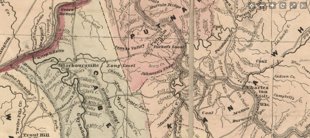
Lloyd’s official map of the state of Virginia from actual surveys by order of the Executive 1828 & 1859 from the Library of Congress

You must be logged in to post a comment.